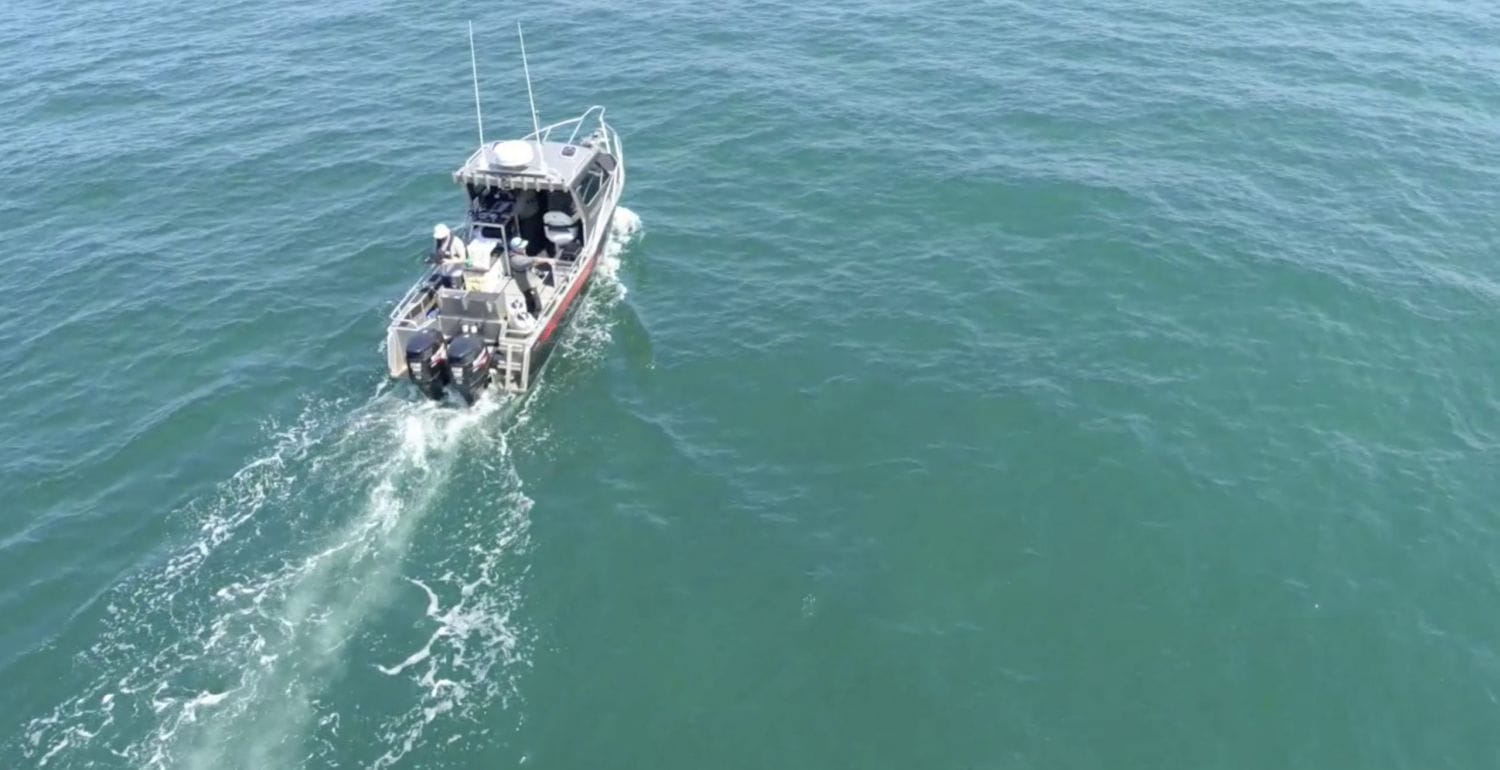
Port Phillip Bay Habitat Mapping
Fathom Pacific, in partnership with Australian Marine Ecology and the Victorian Department of Environment, Land, Water and Planning, has developed a new scheme for marine ecological classification to meet the requirements of modern environmental management. Known as the Combined Biotope Classification Scheme (CBiCS), the system provides standardised classification of new and legacy data from the littoral zone to the deep-sea. CBiCS is implemented via controlled catalogues and web-based services. CBiCS has detailed classification components and hierarchies, tested with real data from multiple ecosystems. t is supported by a comprehensive implementation framework and provides managers with unprecedented ability to house and analyse marine data.
Marine ecological classification (MEC) provides a means of describing, mapping and monitoring biological communities, abiotic structural habitat components and ecosystem types. MEC can be applied at a range of spatial scales, aligned with the natural hierarchy of scales covered by the methods or sensors being deployed. For example, benthic environments may be surveyed using satellite imagery, swath acoustics or airborne LiDAR at large scales, imaging transects at intermediate scales, and image frames, quadrats or grab samples at small spatial scales.
The requirements of biotope classification impose new demands on the types and quality of biological information. Fathom Pacific is engaged in studies from the intertidal zone to the abyssal zone to provide biotope classifications to inform impact assessments, marine resource management, fisheries assessments and biodiversity research.
Systematic biotope classification links directly to ecosystem modelling and marine spatial planning and Fathom Pacific is engaged in project to implement CBiCS EcoNet – an ecosystem modelling module of CBiCS that informs on indicators of Good Environmental Status.

